Multi-purpose imagery (ocean)
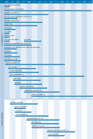
In addition to the specific ocean measurement observations discussed in previous sections, a number of sensors are capable of providing a range of ocean imagery from which useful secondary applications can be derived.
High resolution radiometers such as AVHRR, AATSR, and VIIRS have multi-channel imaging capabilities to support the acquisition and generation of a variety of applied products including visible and infrared imaging of hurricanes. They provide observations of large scale ocean features, using variations in water colour and temperature to derive information about large scale circulation, currents, river outflow and water quality. Such observations are relevant to activities such as ship routing, coastal zone monitoring, toxic algal bloom detection, management of fishing fleets and sea pollution monitoring.
High to medium resolution imaging sensors such as MERIS are better suited to observations of coastal zone areas and can provide information on sedimentation, bathymetry, erosion phenomena and aquaculture activity.
In addition, SAR instruments such as RADARSAT, ASAR and (from 2005) PALSAR provide a valuable all-weather, day and night source of information on oceanographic features including fronts, eddies and internal waves. SAR imagery is also useful for:
- pollution monitoring - notably oil spill detection;
- ship detection - useful to rescue services, port authorities, custom and immigration services;
- coastal change detection - topography mapping;
- bottom topography mapping, valuable for resource exploration and pipeline routing.

